A Rise From the Ashes
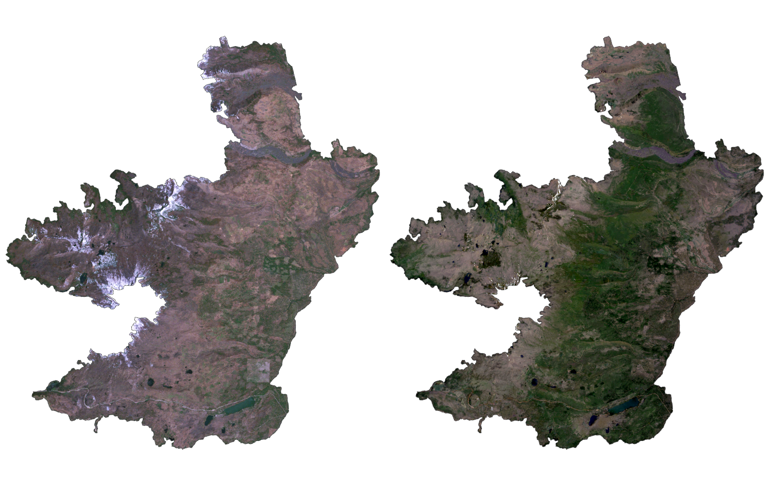
In the summer of 2003, two wildfires started in Lincoln and Jefferson County Oregon, on either side of the Cascades. The two fires eventually joined together, and formed a single wildfire known as the B&B Complex Fire, which burned along the crest of the mountain range. The fire and its subsequent recovery of vegetation offers a unique research area, due to the relatively even distribution of aspect along the mountainous slopes.
Click to fit image to screen
Process
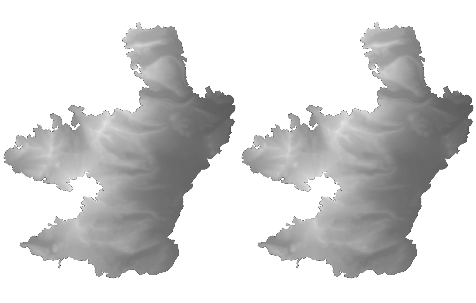
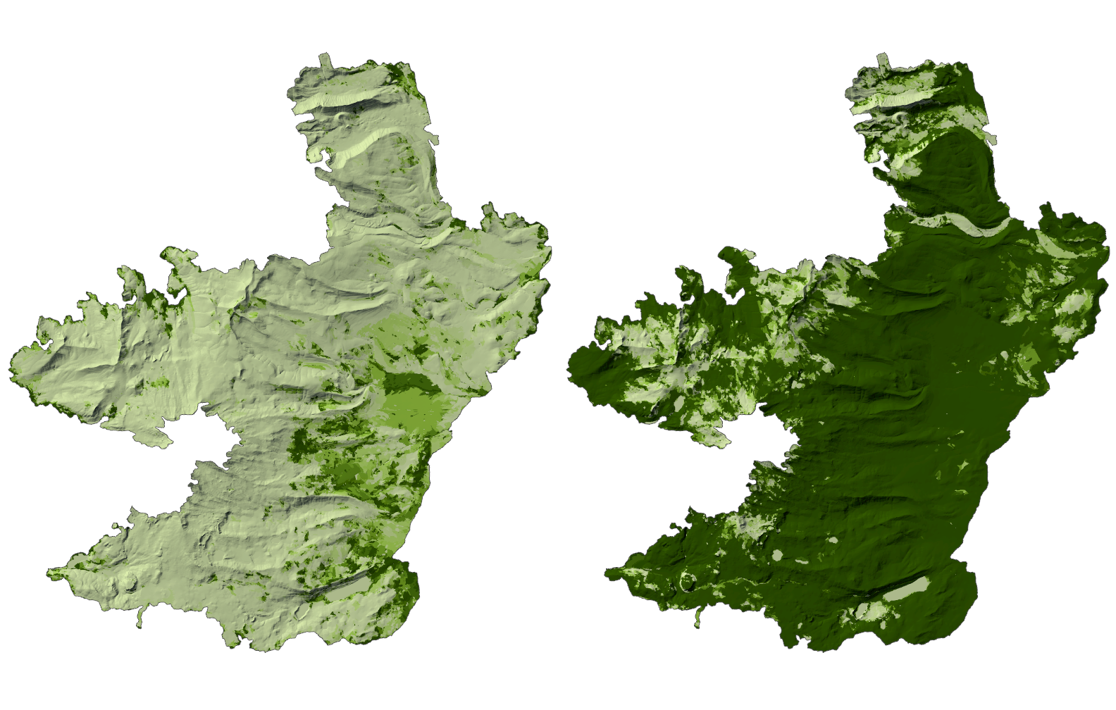
To analyze the effects of slope and aspect on vegetation recover after the B&B Complex Fire, two types of remotely sensed imagery were used: satellite imagery collected via the LandSat system, and a 10-meter DEM produced by the Oregon Department of Forestry.
NDVI analyses were performed on satellite imagery from five separate years over a 20 year period: 2004, 2009, 2014, and 2024. These analyses were performed individually, in order to determine the unique NDVI threshold for each image.
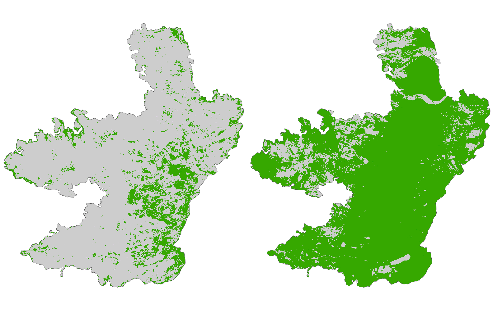
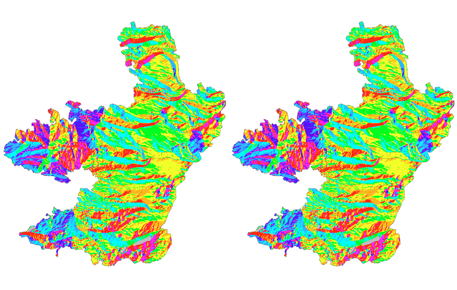
Zonal statistics were gathered regarding vegetation coverage for each year, each zone determined based on its unique combination of aspect and slope. Differences were calculated between each year, in order to determine how vegetation coverage changed over time.
Purpose
Following the B&B Complex Fire, the first five year period strongly favored regrowth in the south and east. In the first ten years, regrowth was higher on low to moderate slopes.
Overall, in this particular research area, one can conclude that southern and eastern facing areas, with low to moderate slope, will see the fastest initial regrowth after a fire. However, northern and western facing areas, as well as steep slopes, will also see noticeable recovery, but only after the rest of the area has significantly recovered