Rock Creek Environmental Studies Center
The Rock Creek Environmental Studies Center (RCESC) is a natural area within Portland Community College’s Rock Creek Campus that serves as wildlife habitat, provides ecosystem services, and is used as a living lab for PCC students and the community.
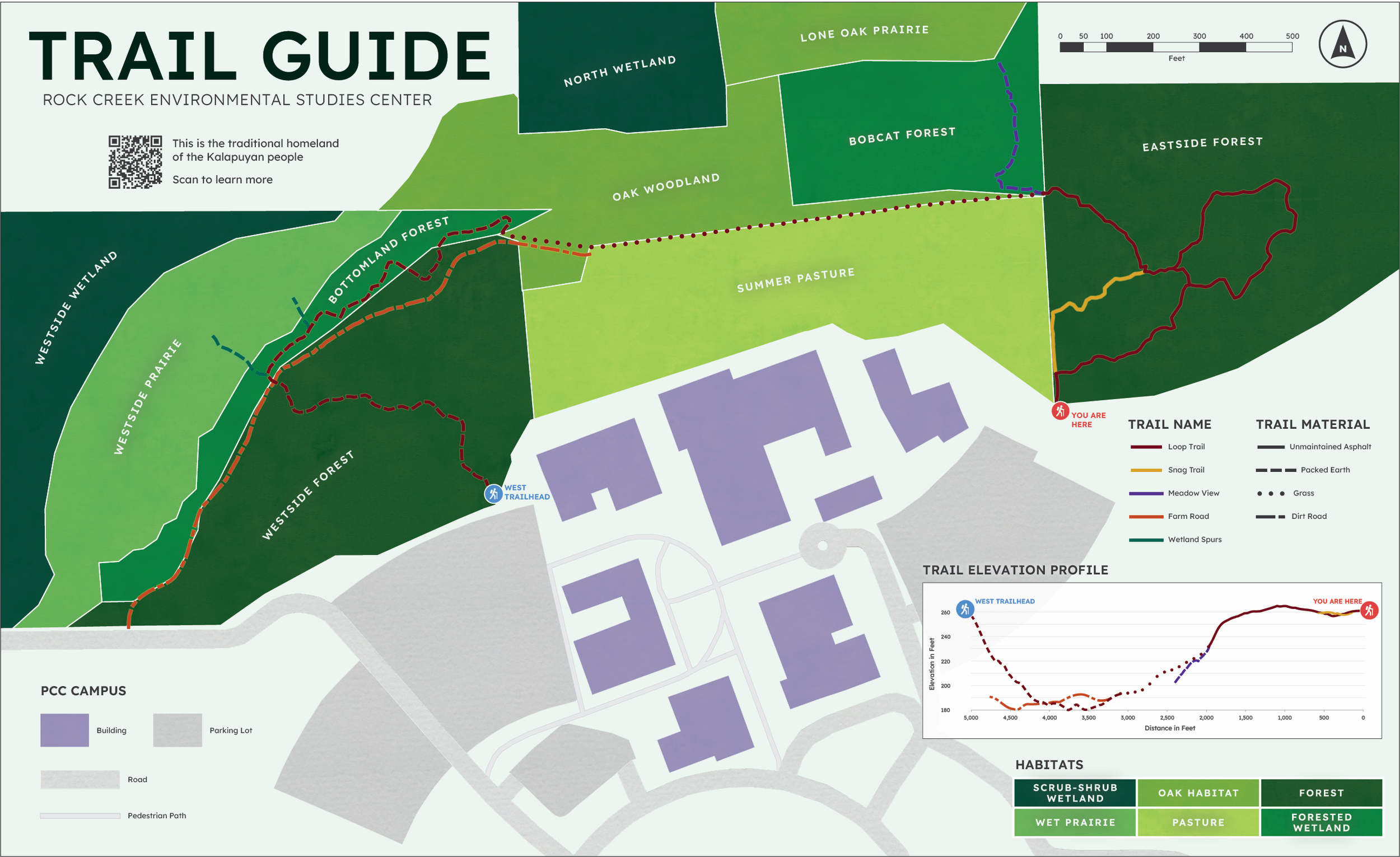
Process
A digital elevation model of the region was created used LiDAR data. Trail data was collected using high accuracy GPS, and a polygon layer was created using aerial imagery to denote the center’s unique habitats.
3D lines were created from geoprocessing workflows utilizing the DEM and line data. Extensive cartographic techniques were applied to make the map not only visually pleasing, but accessible to a wide variety of the population.


Purpose
The RCESC’s trail map is a tool that can be utilized by the community to gain confidence in navigating their trail system, further educating the public on all the native flora and fauna the center has to offer.